Mount Altissimo in Nago
- R_MALCESINE
- E_DINTORNI
- E_ITINERARI
- M_BEACTIVE
- M_OUTDOOR_TERRA
- M_BIKE
- M_EBIKE
- M_TREKKING
- M_CAMMINARE
- T_APRILE
- T_MAGGIO
- T_GIUGNO
- T_LUGLIO
- T_AGOSTO
- T_SETTEMBRE
Route description
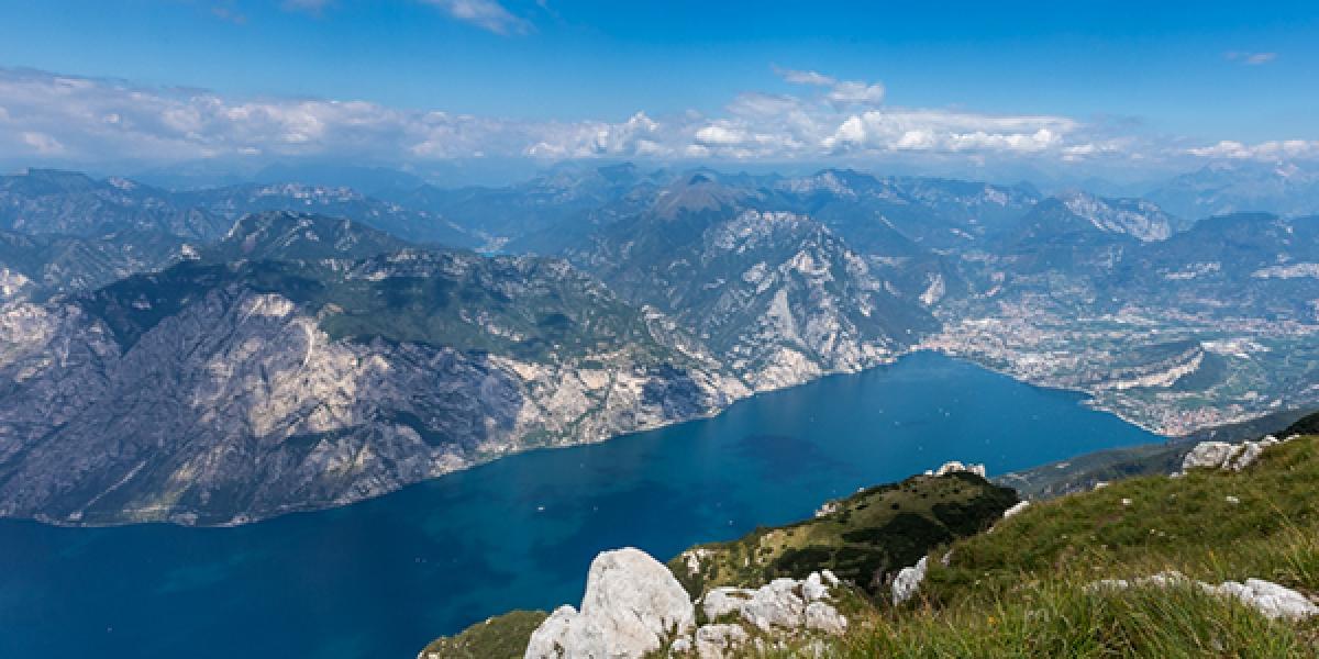
From the cable car top station, head north, going uphill and following the road signs to Mount Altissimo (trail mark n. 651). After the ski lift, go ahead on a flat section on Mount Baldo crest, watching the stunning views that made this mountain famous.
Hike down on the right, following path 651 until you reach the street. Keep going on the left to Rifugio Bocca Navene at 1425 m a.s.l. Right after the refuge, leave the paved street and take path 651.
The first section of the path is in the wood, then you get out and walk on the meadow, hiking along the ridge of Lastè di Tolghe.
When the walk on the meadow is over, take the military road to reach the dirt road of path n. 633 to the Altissimo refuge.
How to get to the route starting point
The Malcesine Monte Baldo cable car uphill station is situated in Località Tratto Spino. You can find the cableway timetable and fares at this link.