Il sentiero della salute di Malcesine
- R_MALCESINE
- E_MONTAGNA
- E_ITINERARI
- M_BEACTIVE
- M_OUTDOOR_TERRA
- M_TREKKING
- M_CAMMINARE
- T_GENNAIO
- T_FEBBRAIO
- T_MARZO
- T_APRILE
- T_MAGGIO
- T_GIUGNO
- T_LUGLIO
- T_AGOSTO
- T_SETTEMBRE
- T_OTTOBRE
- T_NOVEMBRE
- T_DICEMBRE
Route Description
From the Malcesine station, head south and take the Panoramic road to the left, just after the Hotel Ideal, which you'll find on your left. Climb for nearly 5 kilometers on the Panoramic road until you reach Passo Campiano.
Take the uphill road to the right that leads to the intermediate station of the Malcesine Monte Baldo cable car: this is the most challenging section, climbing 250 meters in less than 2 kilometers.
Pass the cable car station and take the path that descends to the right following signs for San Maggiore. From here, leave the asphalt and continue on mixed terrain until you exit the woods.
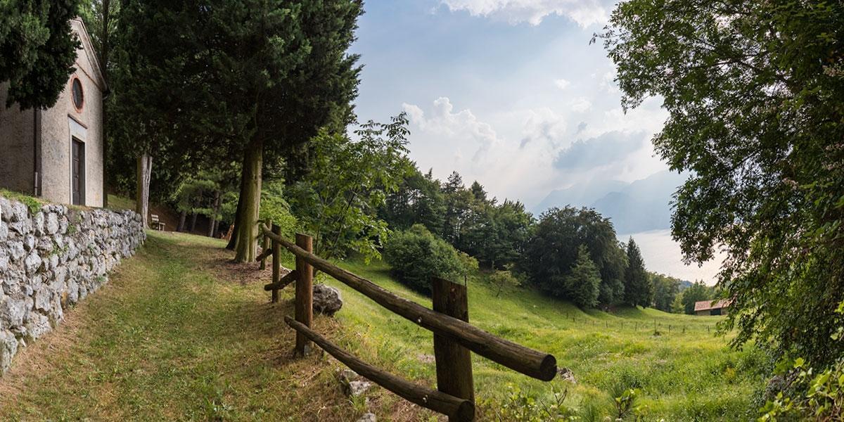
At the Chapel of San Michele, stay on the upper path and begin descending on the health path.
The lower descending path immediately to the right is shorter and technically more demanding.
At the end of the woods, after the cemented descent, turn right downhill. At the capital, continue straight down, and you'll find yourself at Passo Campiano. Go down to the right on the North Panoramic road.
You start with a nice descent, then you cross a hill, encounter a flat section, and then a short descent. Here you find the bus stop and a slope down to your left that takes you to the Vacco mule track.
After the mule track, you emerge onto the Navene Vecchia road.
Turn left downhill to return to Malcesine.
Starting Point of the Itinerary
It begins at the information office in Malcesine, at the bus station, on Via Gardesana.