Via ferrata delle Taccole
- R_MALCESINE
- E_MONTAGNA
- M_OUTDOOR_TERRA
- M_ARRAMPICATA
- T_MAGGIO
- T_GIUGNO
- T_LUGLIO
- T_AGOSTO
- T_SETTEMBRE
Route description
Getting there from Rifugio Telegrafo
From the Refuge walk towards the South on path 658 until you find the plate of the Via ferrata on your right. Go down keeping left, along a gravel descent leading you at the beginning of the via ferrata.
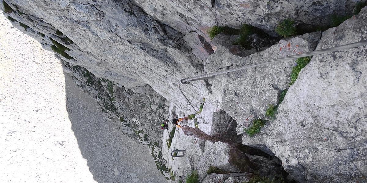
The ferrata
The beginning is quite technical: it starts with a vertical chimney leading to a slab presenting a crack which characterizes the ferrata. The slab is about 40 meters long, it is overhanging and the stirrups are quite distant. Keep going up even if the difficulty doesn't decreases. The last section is the hardest: it is 25 meters long and it develops on a dihedral with a slightly overhanging chimney-shaped crack. The last part of the ferrata is poorly equipped.
The descent
Go back to the refuge followinG the hrizontal road signs. You will see path 658 below on your right. The exit is a bit furtHer South of the starting access on gravel. Walking to the North along path 658 you'll go back to Refuge Telegrafo.
Route staring point
From path 654.
Drive from Punta Veleno or from Prada/San Zeno until the street of the Val Trovai, above Malga Zovel. There starts path 654.