Nordic Walking Park Malcesine
- R_MALCESINE
- M_BEACTIVE
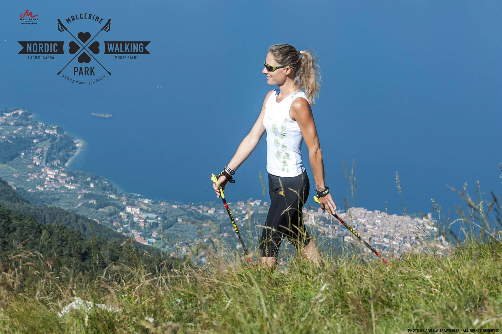
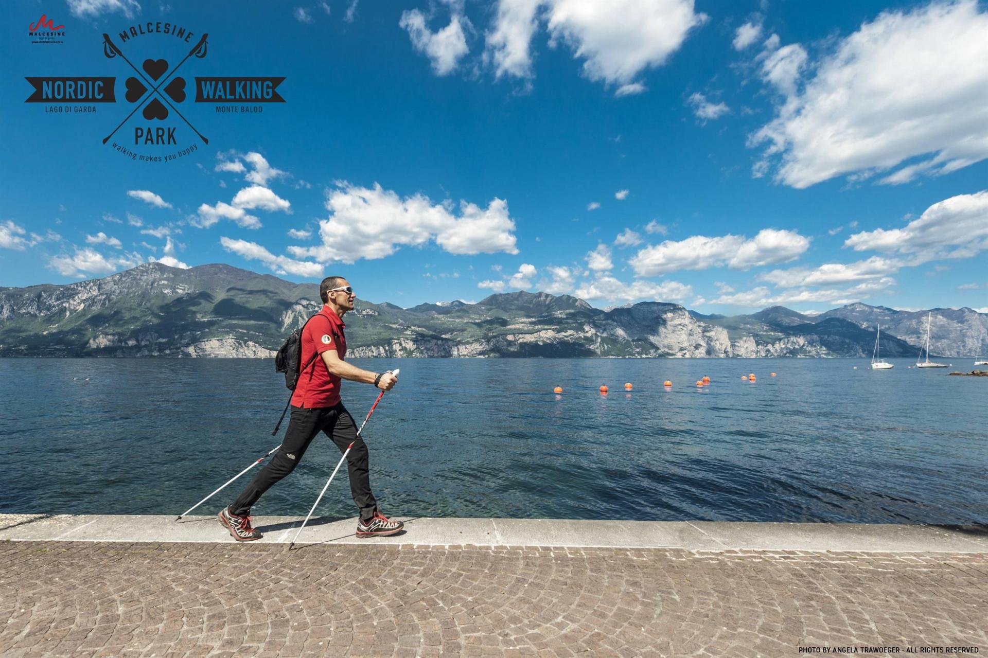
The Nordic Walking Park Malcesine offers a range of fun and scenic routes for all tastes and abilities.
You can choose to stay on the lake with beautiful walks among the olive trees, or move up into the hills and even up into the mountains at 1700 metres with hiking trails.
DESCRIPTION OF THE ROUTES
Route 1 – Circular Route Campagnola
The route winds through the backcountry of Malcesine among centuries-old olive groves,
leads up to Campagnola then turns back to the town along the walking and biking path.
Route 1A - Circular Route Sottodossi
The shorter tract of the circular route of Campagnola is an old dirt road lined with
olive trees that leads to the village of Sottodossi.
Route 2 – Circular Route Madonna dell’Accoglienza
Running along ancient mule tracks and through centuries-old olive groves, the route
leads to Madonna dell’Accoglienza and its panoramic viewpoint.
Route 3A – Circular Route San Maggiore
The circular route that goes from Vigne to San Maggiore is located at an altitude
of 300/400 meters above the town of Malcesine. The route runs along paths and
stretches of paved road, through woods and alongside ancient farmhouses.
Route 4 – Circular Route Navene-Val Bova
Running along roads and military paths of the First World War, the route leads to the
Holm oak woodland of Navene, an area of great natural interest.
Route 5 – Malcesine-Cassone
The route connects Malcesine to Cassone passing through the lovely Val di Sogno,
and by way of circular route 5B leads to the Nordic Walking Park of Brenzone sul
Garda.
Route 5A - Circular Route of the two Municipalities
The route takes you to the Museum of the Lake Cassone, and running along ancient
mule tracks leads to some hamlets around Brenzone sul Garda.
Route 6 – Malcesine – Navene
The route runs alongside the lake down the walking and biking path and connects the
main town to the village of Navene and circular route 6B.
Route 6B – Circular Route 4 Navene- Val Bova Connection
The route connects Navene to Navene Alta, the starting point of Circular Route 4.
Route 7 - Circular Route San Michele - Faigolo
This route, located around the intermediate station of the Cable Car, leads to the last
farmhouses of the small village of Fagiolo and to the surroundings of San Michele
and its little church.
Route 7E
This route runs parallel to the dirt road of Fagiolo and offers astounding views of
the Lake. It is considered E (tourist hiking level), but not recommended for Nordic
Walking.
Route 8 – Circular Route Colma
An easy route with a stunning view of the lake and surrounding mountains at Colma
di Monte Baldo.
Route 9 – Circular Route Tratto Spino
The route is an extension of the circular route Colma. It runs along dirt roads and
pastures.
Route 10 - Route of the Malgas (Shepherd Hut Route)
The route runs through the pasture land of four malgas and centuries-old beech
woods and along dirt roads, paths and some stretches of paved roads.
At Prà Alpesina you go up with a chair lift then come back to route Tratto Spino.
Some sections of this itinerary are not suitable for Nordic Walking.
Route 10B – Return from Valletta (A-B)
This path is like the Route of the Malgas but leads back to the summit station of the
Cable Car (Tratto Spino) along the path of Valletta.
The linking path to and from Tratto Spino is not suitable for Nordic Climbing and is
considered E (tourist hiking level).
Route 11 – Known as “Omini”
This very panoramic route leads up to the highest heights of the Mount Baldo
mountain chain. Parts of it pass through the full nature reserve “Lastoni-Selva
Pezzi”.
Direct link to the digital map: https://wwwavenzamaps.com/a/g1gxawb